This might be one of the premier destinations for hikers in England and hiking in the Peak District is the ideal way to experience the diverse landscape the country has to offer. The first national park in Britain offers an idyllic landscape with mostly untouched natural beauty that includes dramatic waterfalls, deep dales, crags, cosy villages, and quaint market towns throughout.
Things to know before hiking in the Peak District
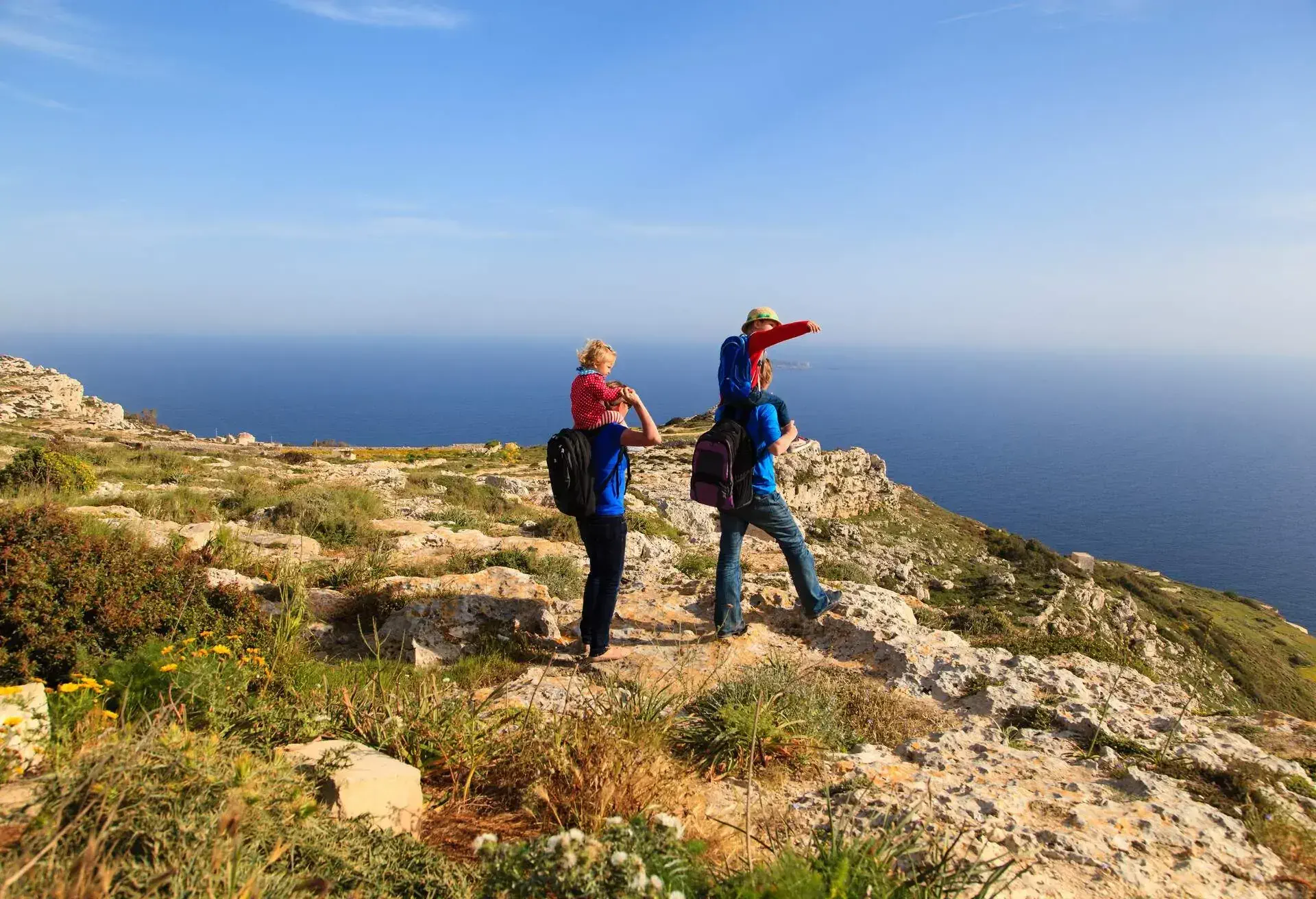
This beautiful region is the ultimate escape for many travellers in the area but there are a couple of things worth taking note of before heading to the Peak District for some incredible hiking opportunities. You’ll want to make sure you plan ahead to make the most of your time and ensure you get to experience everything you’d like to see. Avoiding the hotspots and heading off the beaten path is one of the best ways to avoid the larger crowds and have a bit of the landscape to yourself. Other things to keep in mind when visiting the Peak District is to stay responsible by respecting the parks visitor charter, staying kind to all of those around you, and being aware of the emergency information, which you can get by downloading the app to your phone and following the directions.
Autumn is widely considered the best time to visit the Peak District because you’ll avoid the summer tourists while still having the right type of temperature and significant daylight hours to explore the routes. The weather in Autumn is mild and sunny.
How to get to the Peak District
By train

There are regular intercity rail services operating between the neighbouring cities and you can catch these lines from various places in the country.
Northern Rail operates the Hope Valley line between Manchester and Sheffield that stops at hathersage, Grindleford, Hope, Bamford, and Edale in the Peak District. The Derwent Valley line operated by East Midlands Railway runs from the south, from Derby to Matlock and you’ll have direct access via bus services from there to several villages and dales in the peak including Bakewell. Northern Railway also runs the Manchester to Glossop line to the west.
Bleaklow and Kinder Scout are two Dark Peak moorlands near Glossop and you can set off on the Longdendale Trail from the Padfield station.
Manchester to Buxton is another Northern Railway line form the west and you can hop on a bus from Buxton to dales and villages in the White Peak or head to the Staffordshire Moorlands. The Manchester to Huddersfield line by TransPennine Express runs to the north and stops at Marsden or Greenfield along the way, where you can access Dove Stones, as well as Wessenden Moors.
By Plane

If you’re heading to the Peak District from further away, there are two international airports that are most conveniently located and offer services to the district. East Midlands Airport is the closest airport and offers a regular bus service to Derby from the airport and from there, you can get to the Peak District by train or by bus. There’s a regular rail service operating from Manchester Airport to the city centre, where you can hop on one of the train lines heading to the Peak District areas. You can also hop on the 199 bus service from Manchester Airport to Buxton.
5 best routes for hiking in the Peak District
The Peak District offers some of the most sensational hiking routes throughout England and are the ideal way to explore the diversity of the landscape. This is one of England’s premier hiking spots and ideal for hikers of all levels. We’ll start off with the hardest ones and lead up to the easiest.
The Limestone Way
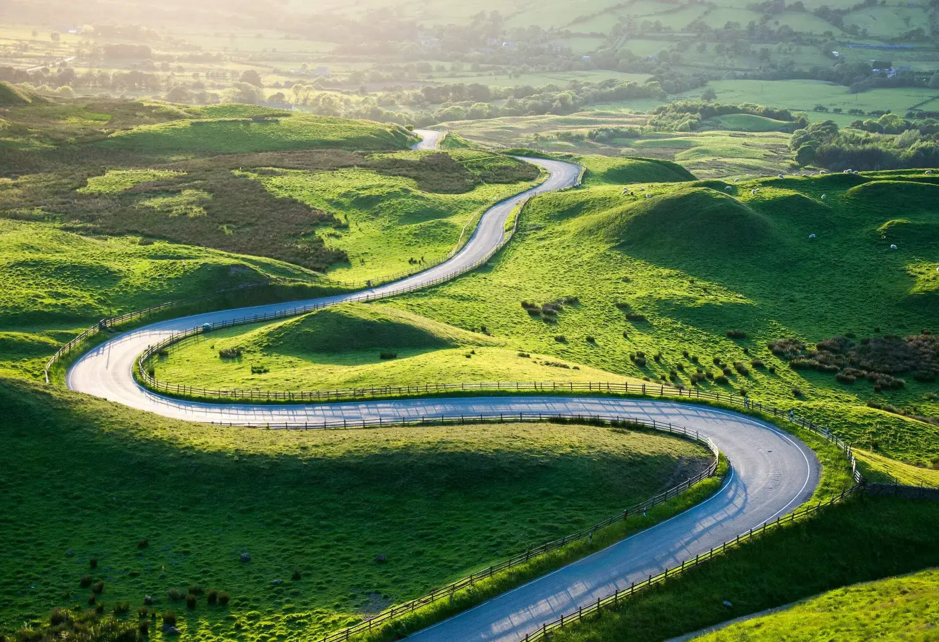
This is possibly the most sought-after, and easily the best, long-distance footpath in the Peak District and although it could probably be completed in two days at a push, it’s more comfortable and enjoyable to cover the 74 km (46 miles) in around three days. This is a hard hike that’s best suited to the more experienced hikers among you. Starting in Castleton village, The Limestone Way winds its way southward through the massive limestone plateau of the dales in White Peak Derbyshire.
Not only does the path lead you through the vast countryside, this trail will also take you through several quaint, exquisite villages on the way to Rocester.
The nearest train station to Castleton village is Hope Station. Catch a train down the Hope Valley Line and then take a bus from the station to Castleton village. Finding accommodation in either Matlock or Castleton will be the easiest but we suggest booking in advance to make sure you find a suitable place
Pennine Way
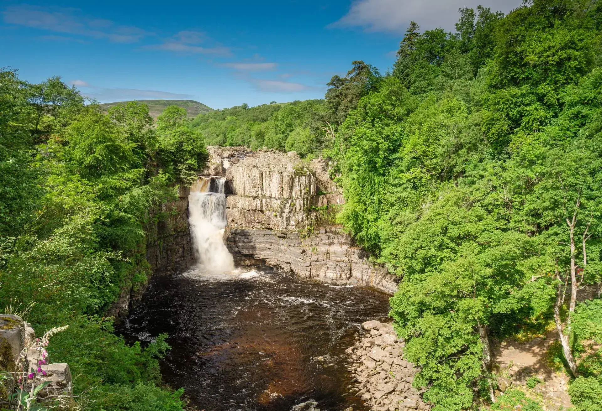
Pennine Way is another one for the more experienced hiker, with a difficulty level of Hard and covering a distance of around 45km (28 miles) in around 2 days. This is the oldest trail in Britain, which opened back in 1965 and offers some beautiful trails heading across the finest upland landscapes in the country. This is widely considered the most popular and most famous long-distance footpaths in Britain that starts in Edale and the full trail runs from here to the borders of Scotland, covering a total of 431km (268 miles). The section inside the park only covers a 10th of the full distance and showcases some of the best sights in the park.
Along the route, some of the animals you’re likely to come across include rabbits, squirrels, roe deer, and some ferral goats.
The easiest way to reach Edale is to fly into Leeds or Manchester and take a train to Sheffield from there and then from Sheffield to Edale train station in around 35 minutes. From there, you’ll find information on how to get to the start of the route nearby. Edale House B&B is a popular spot to stay in the area.
Kinder Scout
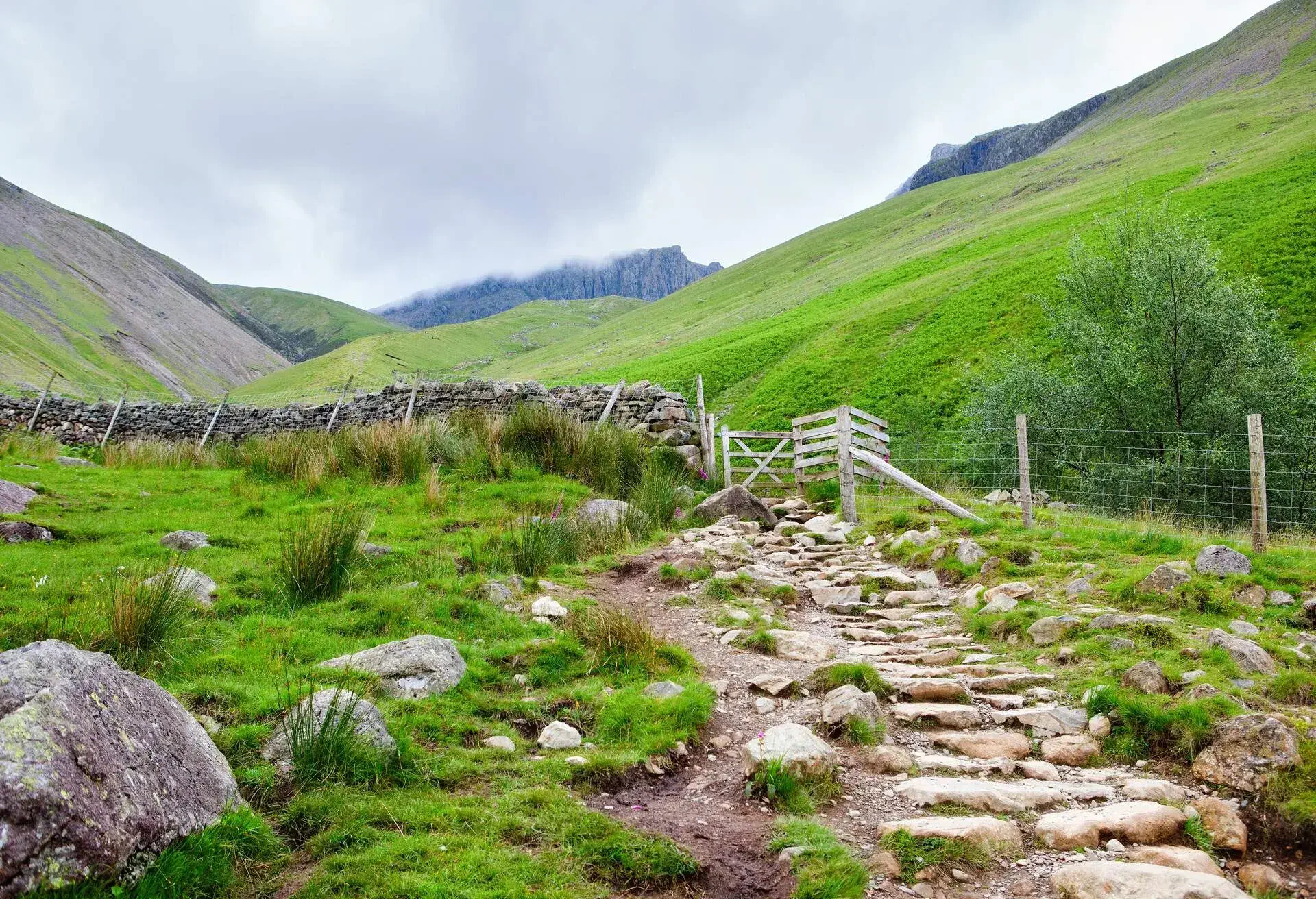
Kinder Scout is a medium-hard hike that’ll take approximately 7-9 hours and cover a distance of 27 km (17 miles) starting in Edale. The full-day winding hike moves around a large expansive plateau with jaw-dropping views along the way. Kinder Downfall is a dramatic waterfall that’ll be one of the highlights of the hike with a final scramble across Grindsbook Clough. If you choose to cut the hike short, you’re able to cut across the plateau at any point by getting your feet a little wet in the boggy terrain.
Take the same route to Edale as you would for the Pennine Way. YoU can expect to see similar wildlife along this route, while the cascading waterfall is by far the most captivating and intriguing part of the hike
Mam Tor
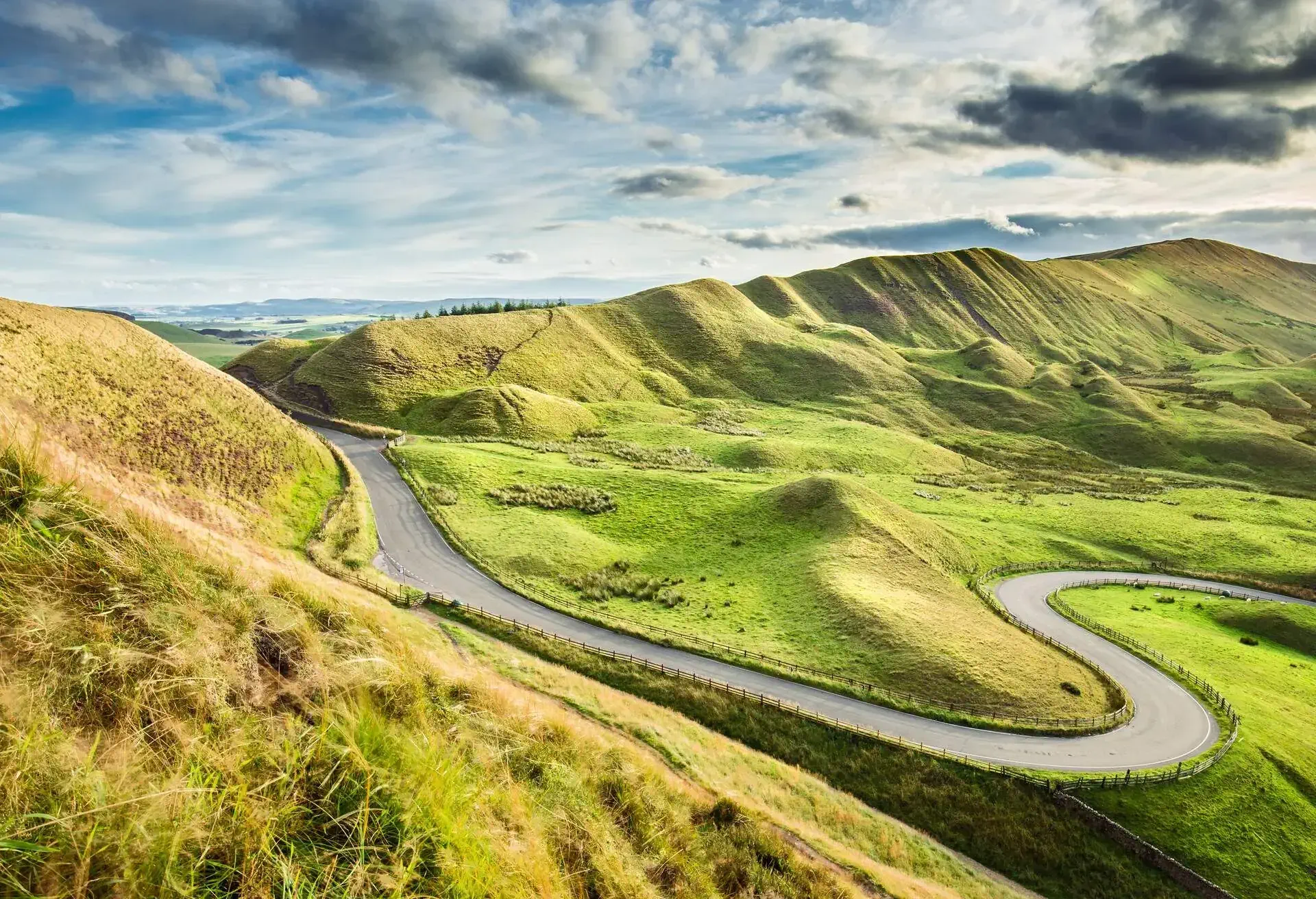
Otherwise known as the “Shivering Mountain”, Mam Tor is a medium level hike of 14 km (9 miles) that’ll take around 4 hours maximum to hike. Located in the High Peak area of Derbyshire near Castleton, this is one of the best hikes in the area and often called the greatest ridge walk in England. The circular route around Mam Tor hill offers round-about views of both Castleton and Hope, two charming villages that also serve as excellent stopping spots for refreshments.
Taking a train to Hope station and catching a bus to Castleton is the easiest way to reach the town. The Yha Castleton Losehill Hall in Hope Valley is a popular spot to spend the night.
Padley Gorge

This is the easiest hike on the list and covers a mere 4km (2.5 miles) in around 2 hours, perfect for the beginner hikers among you. Running alongside the River Derwent, this quiet amble through the wooded valley offer a gentle stroll past babbling brooks, flourishing forest, and scattered mossed boulders. There’s a 18th-century hotel and bar located just off the trail, as well as a quaint cafe offering refreshments. If you’re taking a bus, you can catch the 272 service from Sheffield to Castleton or the Sheffield to Matlock 214 service and get off at Fox House. The closest train station is Gridleford Station, which is a couple of kilometres from Padley Gorge, just walk uphill.
Padley Gorge is a popular draw for the birdwatching community and you’ll encounter a wide range of birds, including Pied Flycatcher, Common Redstart, Wood Warbler, Spotted Flycatcher, and the Eurasian Nuthatch.


