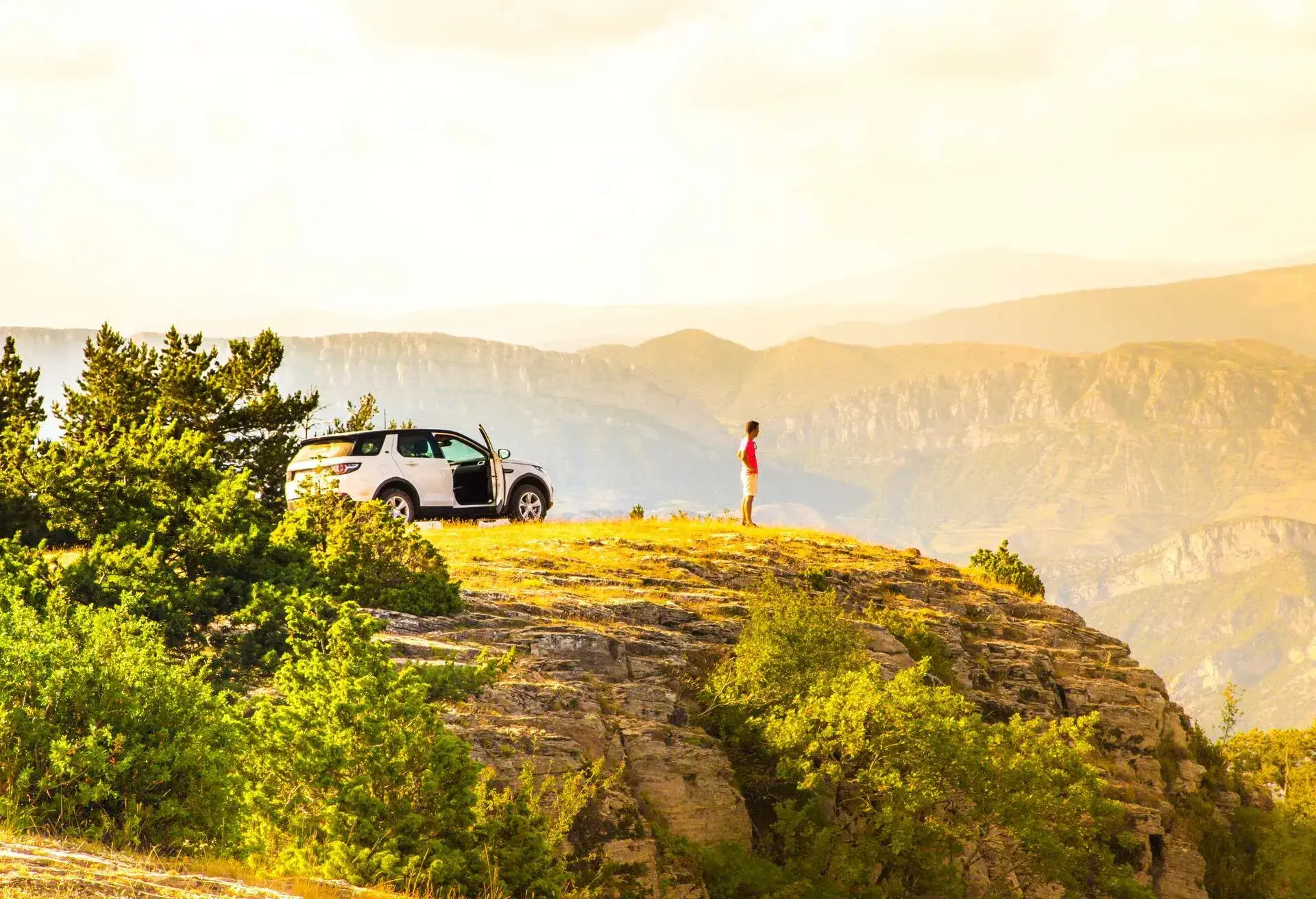
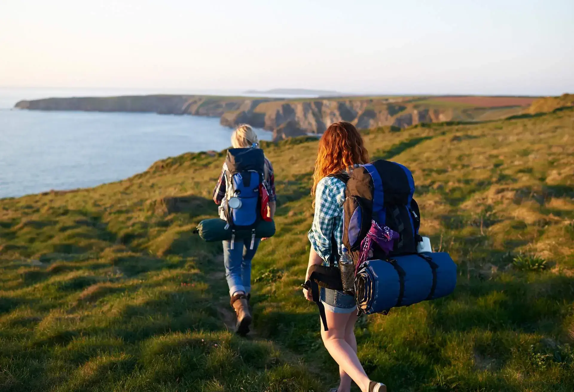
Regardless of whether you’re hiking in Spain as a beginner or planning lengthy, multi-day treks like the Camino de Santiago, the varied landscapes Spain has to offer have everything you could ever want from a hike. The ever-sunny weather in Spain adds to the beauty of every hike; it’s an ideal reason to escape a gloomy city feel and tackle the terrain in one of the most beautiful settings in the world. Our guide will highlight the best places to check out for all levels.
Famous hiking in Spain: El Camino de Santiago
A list of possible hikes in Spain wouldn’t be complete without mentioning the most famous hike in the country: El Camino de Santiago. There are around 12 routes to take when walking the Camino, though the most popular and well-established are the Camino Frances, Camino Portuguese, and Camino del Norte.
The routes start in various places across Europe, but they all finish in Santiago de Compostela. A full trek usually takes upwards of 30 days and can be gruelling on the body if you don’t plan correctly.
Camino Frances
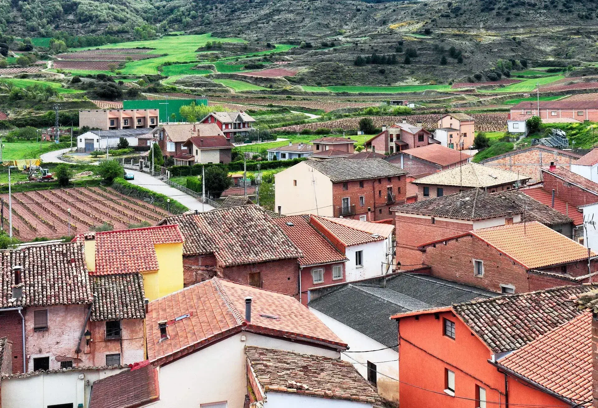
The Camino Frances starts in Saint-Jean-Pied-de-Port, a French village at the foot of the Pyrenees. This is the most popular route when walking the Camino and typically takes between 28 and 35 days. You’ll pass through several cities, including Pamplona, Logrono, Burgos, Leon, and Astorga. This is usually the busiest but also often the cheapest Camino walk.
The best time to walk this route is May-June and September-October. Not only are these the best months weather-wise, but they’re also outside of the peak season, when things get very busy. Tackling the route before peak season hits, during the springtime, is probably the best bet – it’s less busy and the albergues tend to clean and sanitise everything before the season arrives, so there’s less chance of bed bugs and other inconveniences.
Camino Portugues
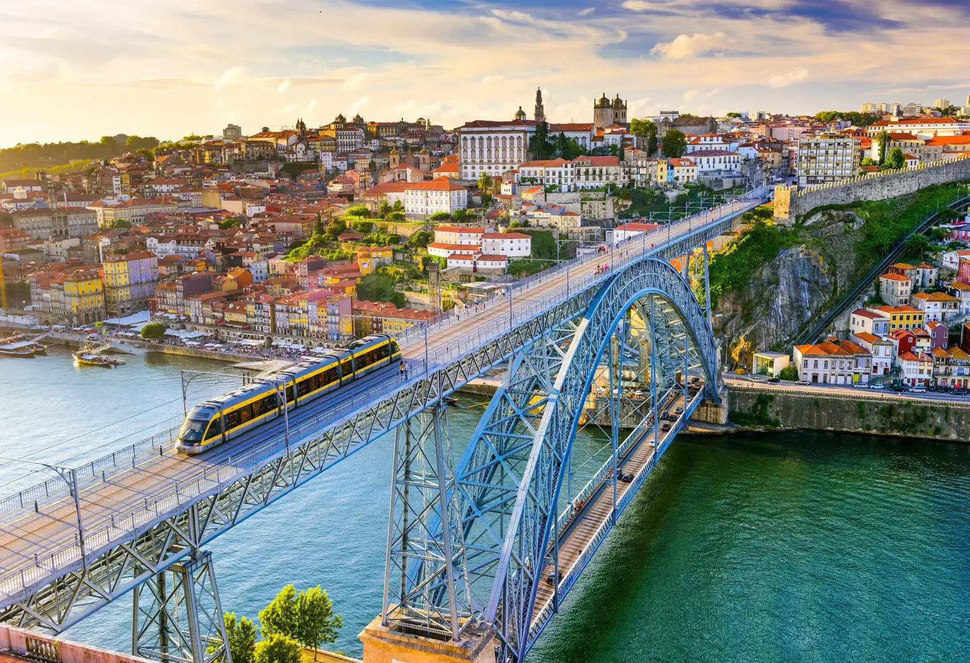
Camino Portugues starts in either Porto or Lisbon. Starting in Porto is the shorter route and takes close to two weeks to walk, whilst walking the full length from Lisbon will take you closer to a month. The scenery along this route includes vineyards and crop fields, as well as several historical cities. The Porto coastal route is obviously all about the beaches and the ocean, as well as the fishermen’s villages en route.
The best months to walk this route would be May or June. The weather in May and June tends to be nice and warm without being too hot and they also have less rain. July through to September is usually the hottest time of the year and will make walking through the unshaded fields and plains from Lisbon a struggle.
Camino del Norte
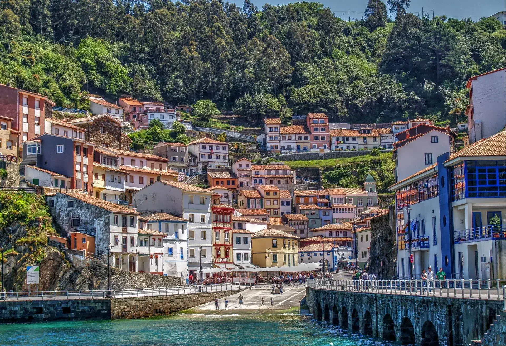
Start the Camino del Norte in Irun and it’ll take around 35 days to complete through the Basque Country, Asturias, Cantabria, and Galicia. This is one of the oldest routes and used to be popular during the Moorish invasion, in the Middle centuries. The scenery on this route is some of the most beautiful and includes a long stretch of coastline, beaches, beautiful seas, cosy little towns, rolling green hills and a small stretch of forest around Galicia. Out of the three main routes, this is widely considered the most difficult, as it’s longer and contains more ascents and descents.
The best time to walk this route is between June and September, when the weather is the best. July and August are the busiest times of the year, but all of the public albergues will be open, and (because the route isn’t as popular as the others) you’re likely to find beds without a problem.
Best hiking spots in Spain
Now that we’ve covered the most famous pilgrimage in Spain, it’s time to move on to the ideal places to hike for specific preferences.
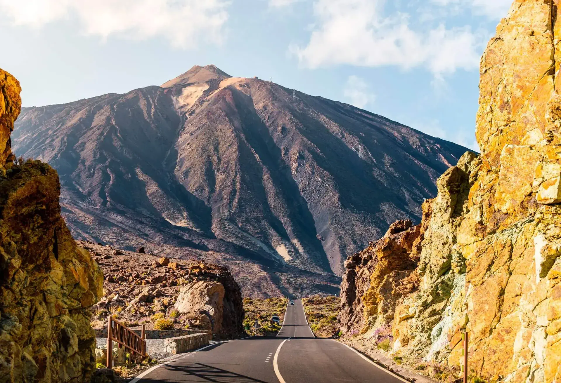
Chinyero Volcano Loop
Level: Easy
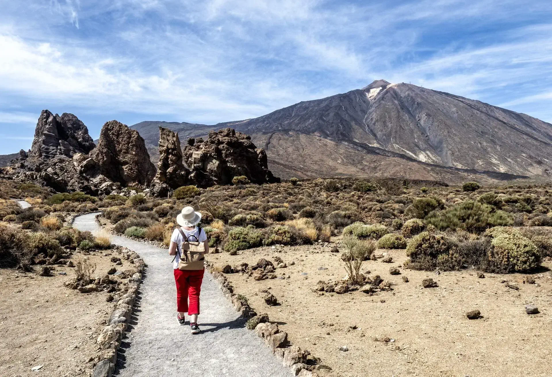
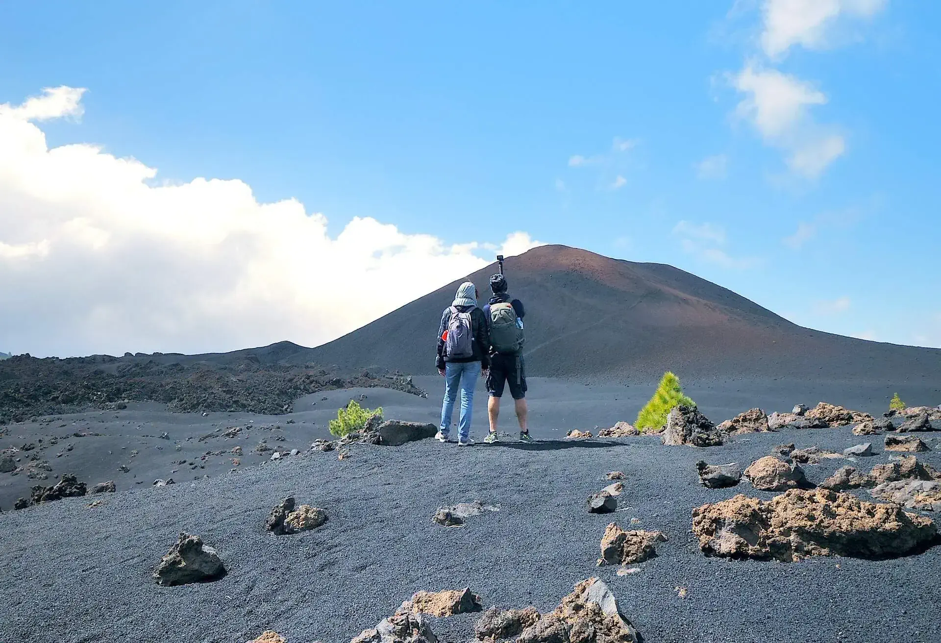
Make your way to the island of Tenerife, to Teide National Park, where you’ll find the Chinyero volcano situated close to Santiago del Teide. The Chinyero Volcano Loop is a 7.2 km hike around the volcano and is ideal for all levels, especially beginners. It’s a leisurely stroll with beautiful views of the local fauna, flora and vegetation.
You’ll see Canarian pine trees, black ash and lava from past eruptions along the route. An easy way to get there is to head down the Boca Tauce road and park in the off-road parking, on the inside of the bend. The best place to stay would be in the national park, but you can find accommodation anywhere on the island.
Ruta del Cares
Level: Medium
This hike is one of the most beautiful routes in the country and runs through the breath-taking landscape of the Picos de Europa National Park, which is located in the north of Spain, between Asturias, Cantabria and Castilla y Leon. From Poncebos in Asturias to Cain in Leon, this 12 km route runs along the Cares River, between and through the rocks featuring incredible drops and caged walkways.
You’re likely to find turquoise streams of water, mountain goats, and a plethora of caves en route.
Not only can you go hiking here, but the national park also offers a variety of outdoor sports, including kayaking, mountain climbing, canyoning, caving, and much more. You can find accommodation online for the national park; head to the top of this page and search.
Penalara
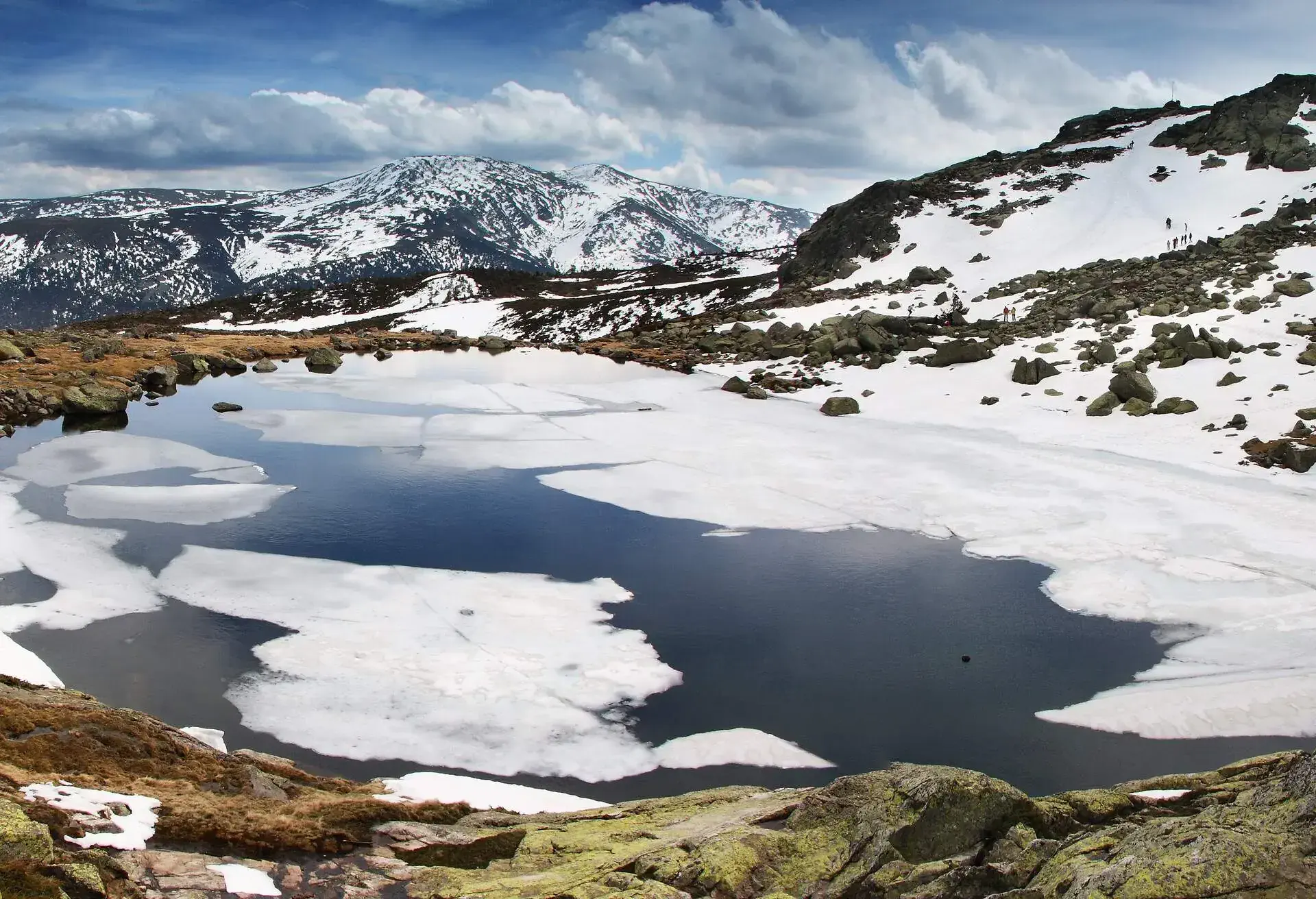
Level: Easy-Medium
This is a gentle but medium-length walk through the Sierra de Guadarrama National Park and is one of the best places for hiking near Madrid. The hike will take around 3h 30min there and back, and runs through Parque Natural Penalara, where you’ll find a host of wildlife, including several kinds of amphibians and reptiles. You’ll also want to keep a keen eye out for the Spanish imperial eagle as well as black vultures.
A good way to reach Puerto de Cotos, the nearby town at which the route starts, is to catch a train from Madrid (on Cercanias train line C-8b); this train changes in Cercedilla. Once you reach Puerto de Cotos, make your way to the visitors centre located at Los Cotos Pass, where you can pick up leaflets and maps for the various routes available. You can also contact the centre online.
Caminito del Rey, Malaga
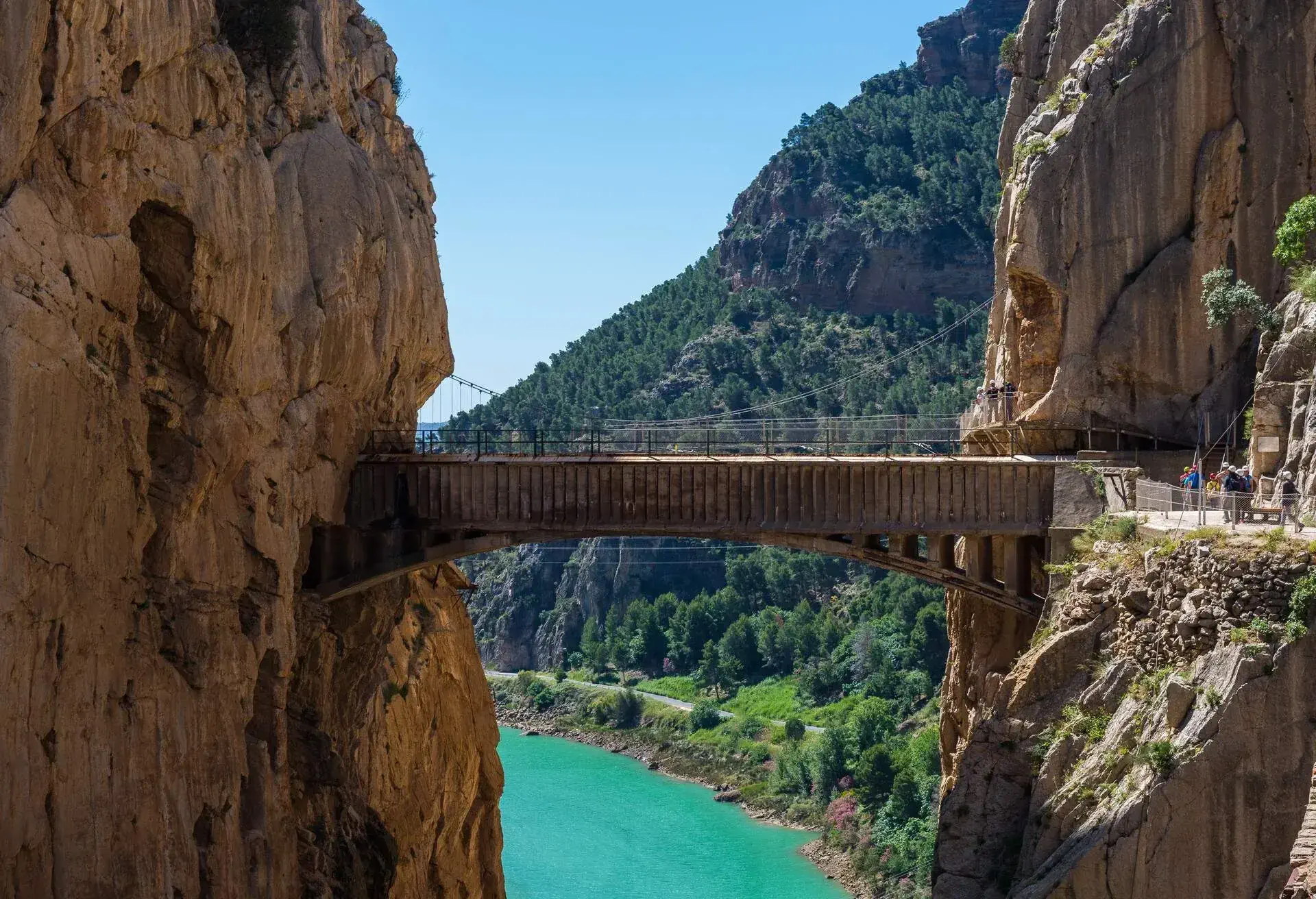
Level: Medium
If you’re a thrill-seeker on the hunt for the best hike to satisfy your thrills, Caminito del Rey is the perfect choice for you. It was once named one of the most dangerous hikes in the world due to various cliffside drops and missing pathways, but these have since been repaired. The hike and climb will take approximately 4 hours and covers a distance of around 8 km, with wooden walkways fixed to rock faces, hanging footbridges and a glass balcony giving you a view of the treacherous ground below.
To get here, you’ll want to make your way to Malaga and then hop on the train at Maria Zambrano train station (to El Chorro). Once you’ve reached El Chorro, look for the Caminito del Rey bus stop, located outside the station, and catch the bus to the start of the walk. When organising your Caminito walk, make sure you book the bus shuttling people from the end of the walk back to the starting point, as the walk is a linear one and a long trek from the bus stop. It’s unlikely that you’ll see very many animals on the hike, but you’ll have some incredible views if you’re brave enough to look down.